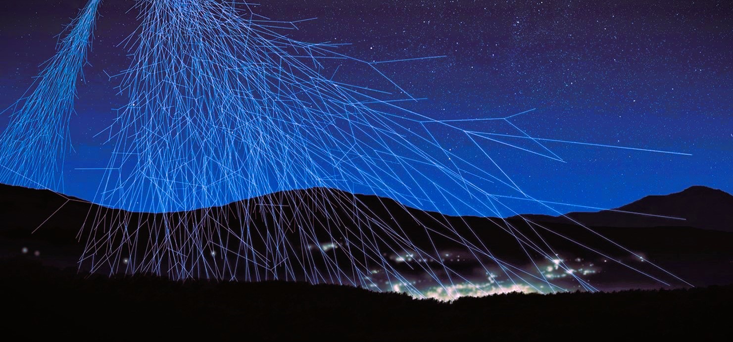
The LouMu project is aimed for geological characterization and surveying of the terrain above the Waldemar Gallery using the muography technique.
Part of this process involves the construction of a geological reference model, using some conventional geophysical techniques in geophysical campaigns carried on site.
Photogrammetry
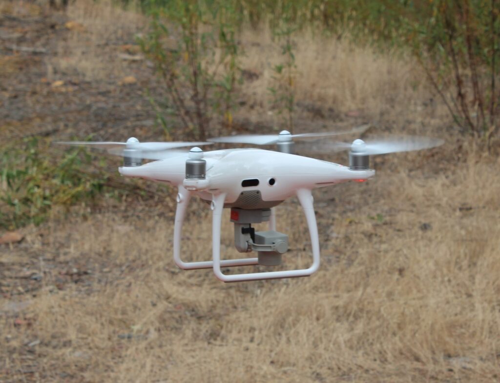
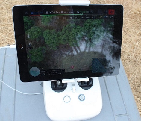
Photogrammetry is a technique that uses a drone to collect georeferenced photographic information, which is then processed. The drone makes an aerial scan of the study area and stores all the information in sequential photographs.
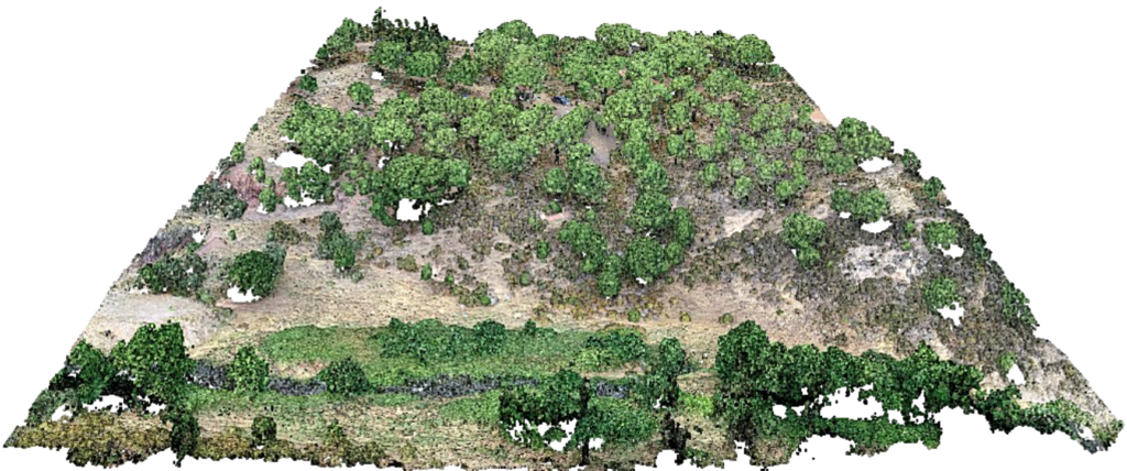
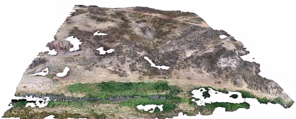
The information captured by the drone is processed in photogrammetry software, and from the superposition of all the photographs, three-dimensional models of the overflown terrain can be obtained. In this application, only the elevation aspect is intended and all vegetation is removed from the final model.
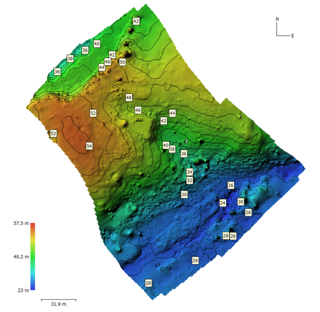
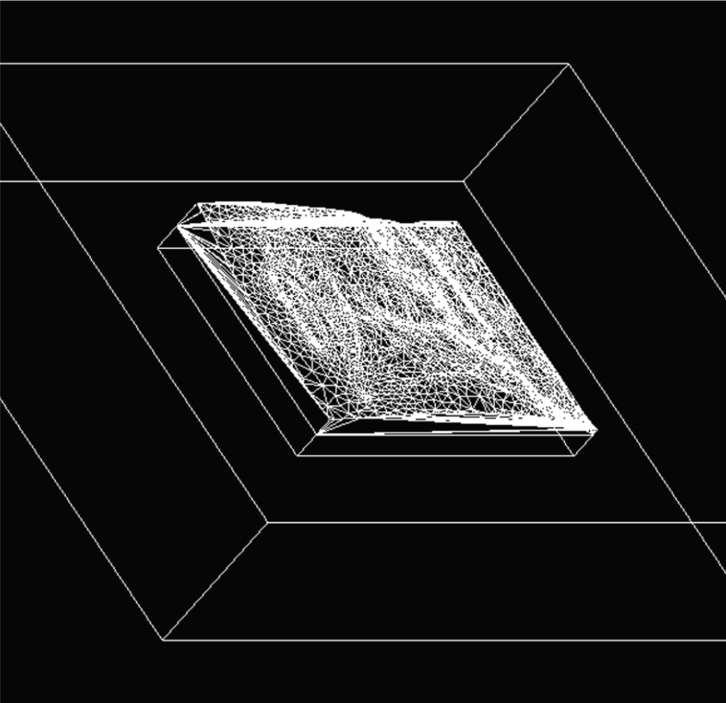
Accurate knowledge of the elevation of the terrain allows to build more realistic geometries to use in muography simulations, which are used to analyze muography data obtained at the mine from the terrain observation with the muon telescope.
GPR
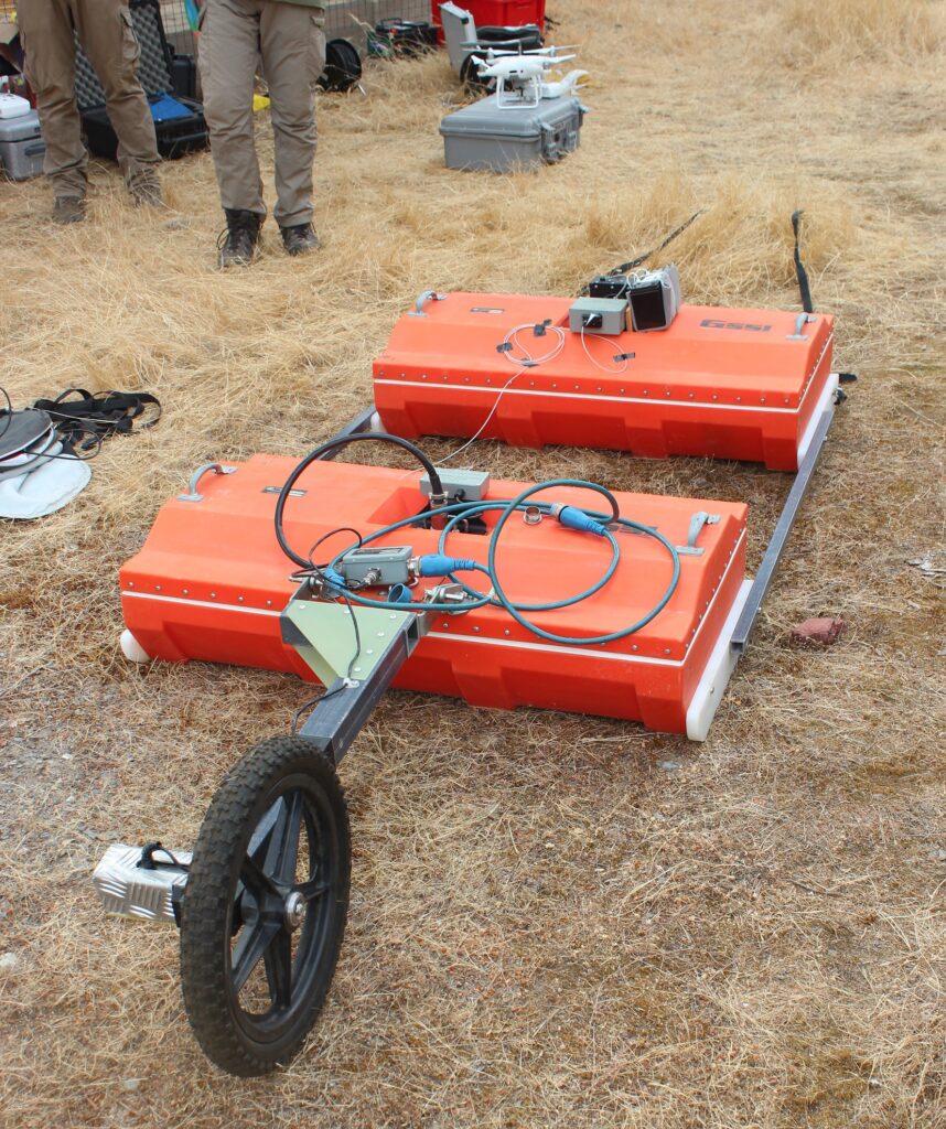
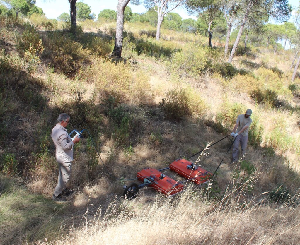
The ground-penetrating radar, or GPR, uses an antenna that emits and another that receives electromagnetic pulses to survey the ground. The absorption or reflection of these pulses inside the terrain, by each of its constituents, will be different according to their dielectric constant. A property of the materials that characterizes the ease with which an electric current passes through them.
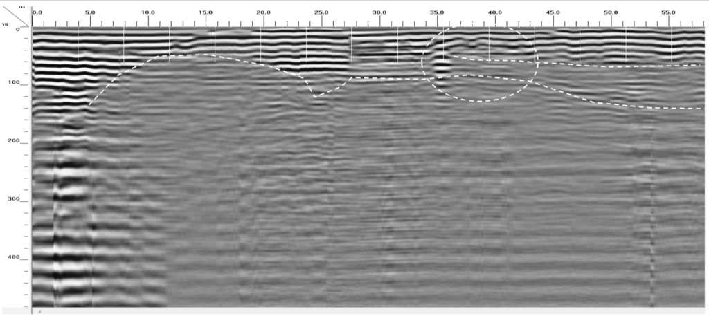
In each GPR application, a vertical profile of the terrain response to the electromagnetic pulses is obtained, showing the variations in the terrain depth, as boundaries between different materials.
Seismic Refraction
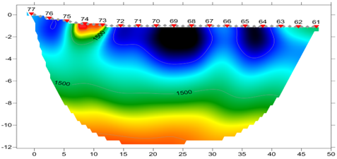
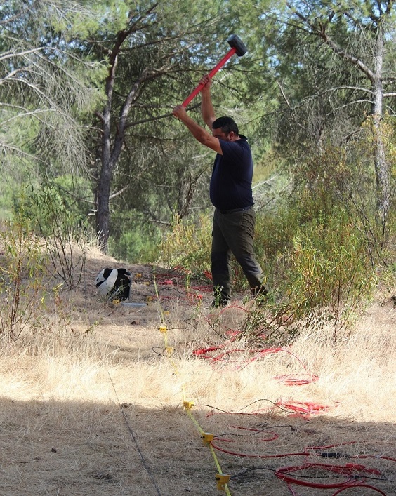
The seismic refraction technique measures the propagation speed of seismic waves in the ground.
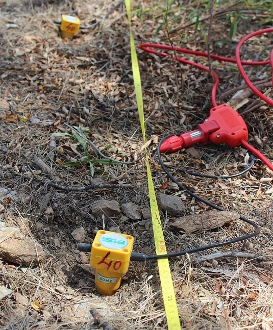
The detection of these waves is carried out with geophones, instruments built to detect vibrations in the ground. In this application, the seismic waves are replaced by strokes with a large hammer which produces vibrations that are sent through the ground, and which are then detected by the geophones.
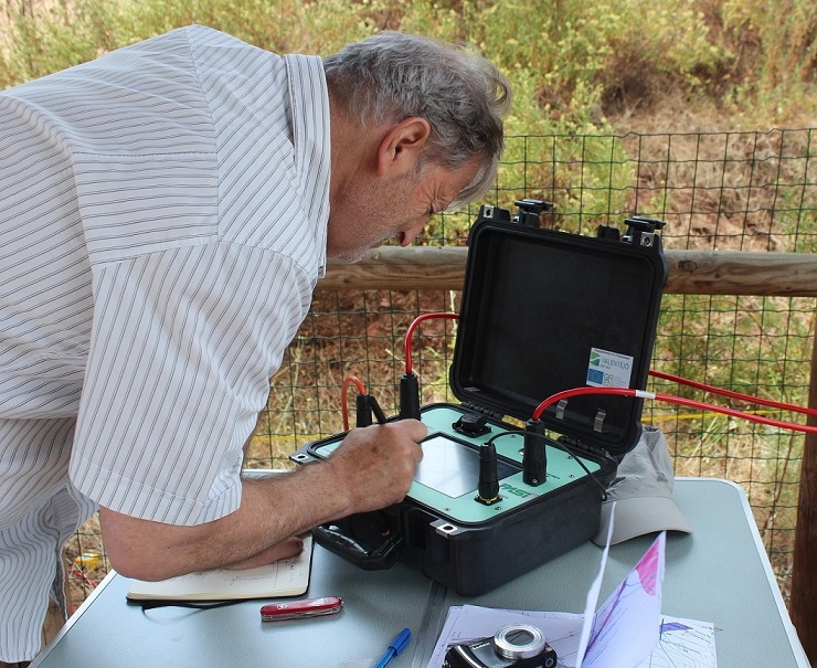
The geophones are all connected to a single cable and the detected signals are registered in a terminal, where they can be read in real time.
The gathered information allows the construction of a speed profile that distinguishes the different ground materials according to their response to the passage of the waves.
Geological Model
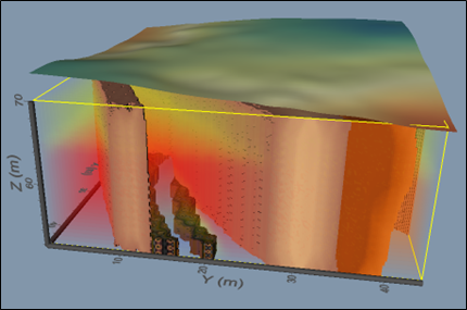
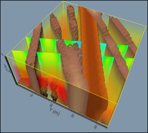
By combining the information gathered using all the geophysical techniques that were used, a geological model of the studied terrain can be constructed.
A geological model is a three-dimensional reconstruction of the characteristics of a terrain, where it is possible to distinguish different materials and other structures such as geological faults, the boundaries between them, and their arrangement at depth.
Its function is to be used as a reference for comparing muography data obtained from the same terrain, thus facilitating data analysis and the identification of observed contrasts.
